JohnGeo
Solutions Ltd
Solutions Ltd
Providing accurate geospatial data and environmental impact assessments for sustainable development projects.
Request a QuoteBased in Nairobi, JohnGeo Solutions Ltd bridges the gap between raw data and environmental action. We specialize in converting complex spatial information into strategic plans for infrastructure and conservation.
We are driven by accuracy, leveraging state of the art Remote Sensing and GIS technologies to support NEMA-standard assessments across East Africa.
We source high-resolution satellite imagery and field data tailored to your project's geography.
Using advanced GIS algorithms, we process raw data to identify patterns, risks, and opportunities.
Our environmental experts craft strategies that ensure compliance with NEMA and IFC standards.
We provide interactive maps and comprehensive reports that guide sustainable decision-making.
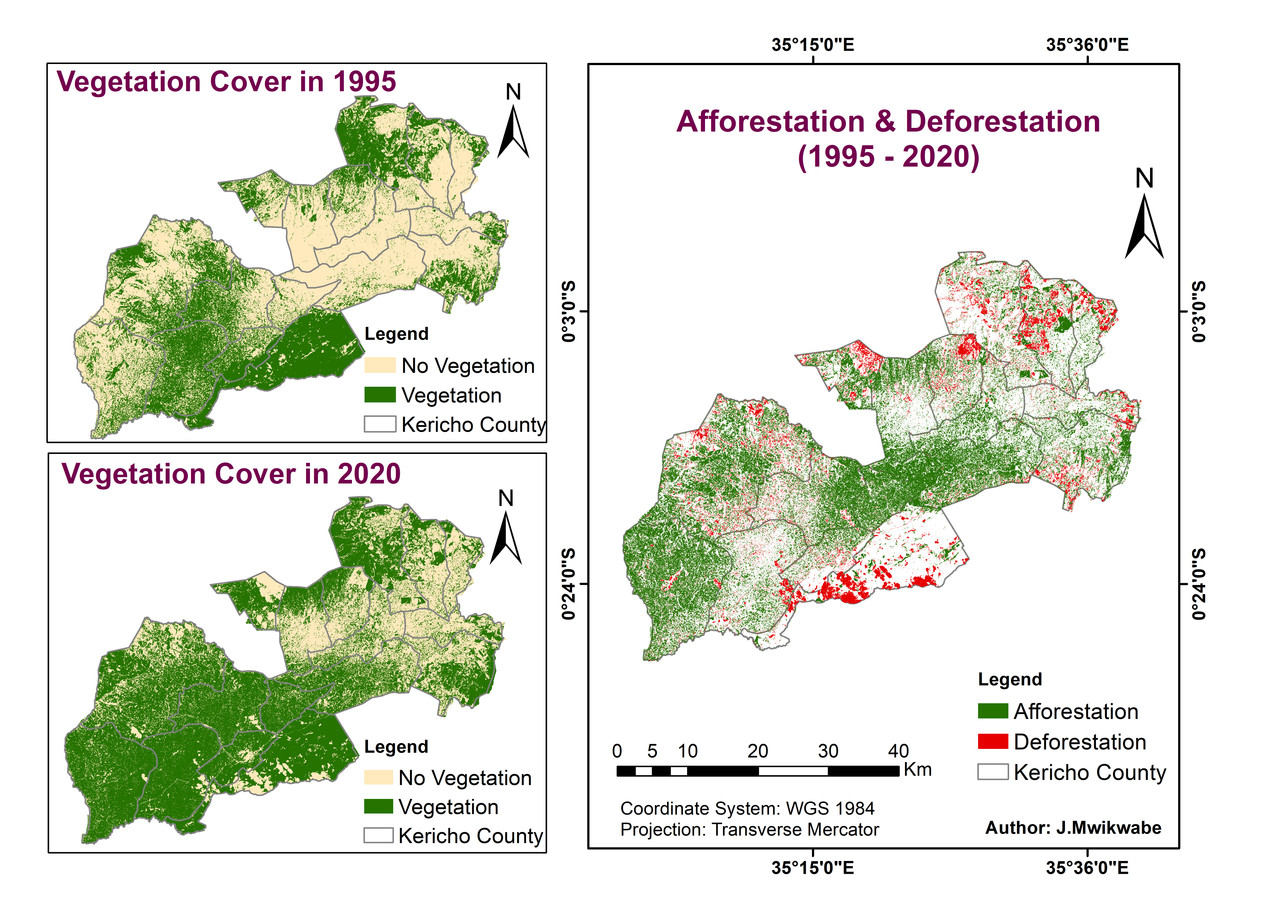
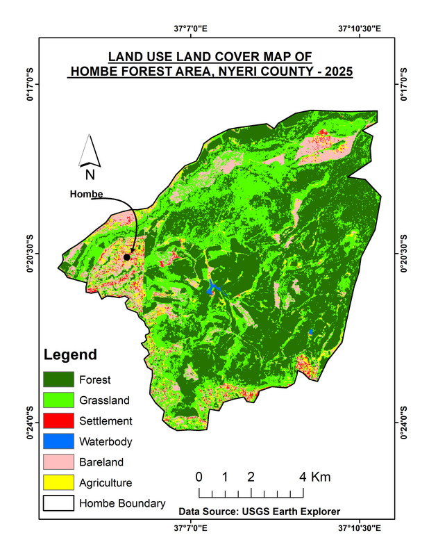
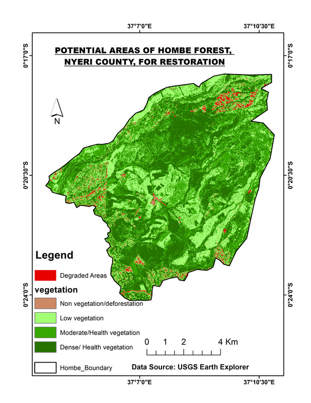
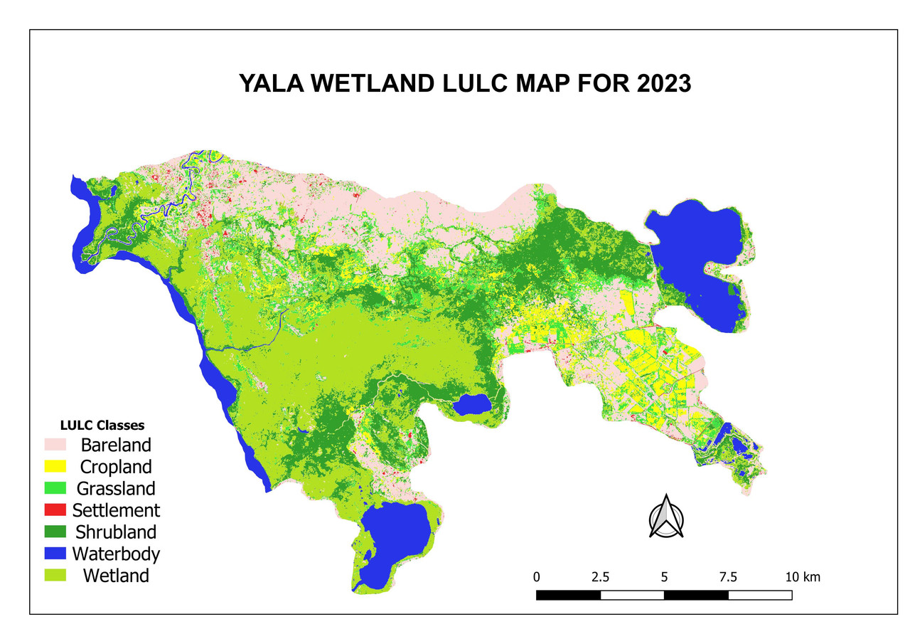
Monitoring land use changes and vegetation health via satellite imagery.
Interactive spatial databases for urban planning and natural resource management.
Standard NEMA-compliant assessments and infrastructure environmental audits.